Count the whole field, not the few stretches you walked.
Plant Counting turns one drone pass at emergence into a plants-per-hectare figure and a gap map, in time to make the replant call before the stand closes canopy.
- GSD
- UAV / ≤2 cm
- Cadence
- Per growth stage
- Platform
- Drone
- Spectral
- RGB
After the cold snap
A grower calls about a thin stand. You drive out, lay the board along a row, count what's up, write it down and walk to the next spot. It is slow, and the spots are the ones near the truck.
The gap that matters, a wet headland or one planter unit that plugged, may sit between your counts. Meanwhile the crop keeps growing, the grower wants an answer, and the adjuster needs a number before anything gets torn up.
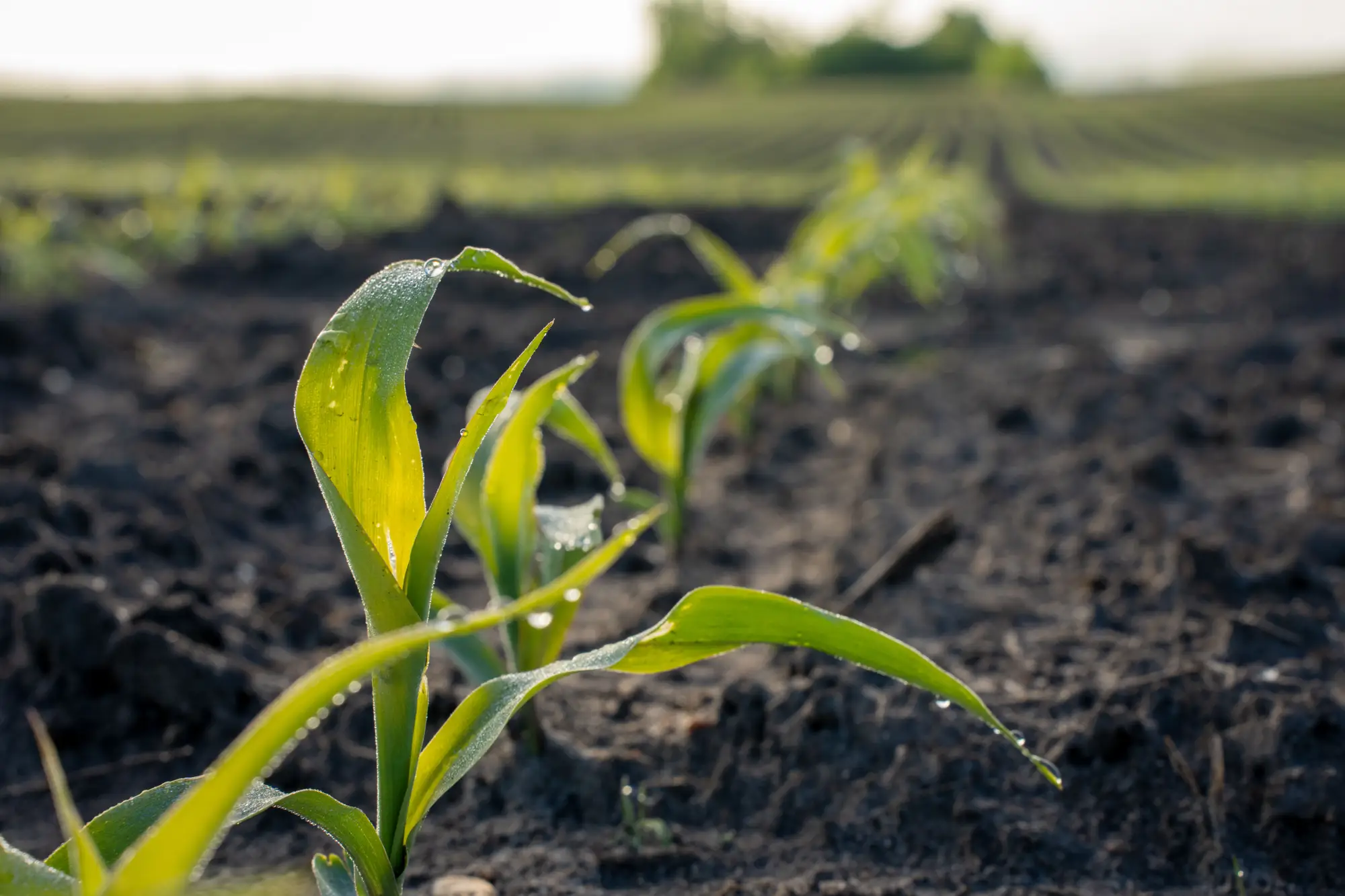
The same field, counted two ways
| Step | Walked transects | With Plant Counting |
|---|---|---|
| Choosing where to count | You pick spots you can reach and hope they stand for the field. | The drone covers the whole field, so no spot is chosen for you. |
| The count itself | Board or tape down the row, count emerged plants, write it on the clipboard, repeat. | Plants are counted from the imagery and come back as a plants-per-hectare figure for each block. |
| Still yours: Deciding what count is good enough for your hybrid, seeding rate and planting date. | ||
| Finding the gaps | You find a bad stretch if you happen to walk through it. | Missing and weak emergence is laid over the field as a gap map, so a thin headland shows up on the field rather than between your counts. |
| Making the replant call | A few counts and a judgment about what the rest of the field looks like. | The count and the gap map for the whole block, in hand before the window shuts, so you can say which part to replant and which to leave. |
| Still yours: The call itself, and the conversation with the grower. | ||
| Documenting it for the policy | Handwritten counts and photos of the spots you stood in. | A count and gap layer referenced to the field boundary, and a CSV you can attach to a replant claim or a seed replacement request. |
| Still yours: The adjuster's approval before any acre is replanted. | ||
| Seed-rate and trial checks | Counting plots one at a time on foot. | The same pass gives a count for each block you draw, ready to set against what was planted. |
What comes back after the pass
One set of files per flight, in formats your GIS or spreadsheet already opens.
- CSV
Plants per hectare, by block
An emerged-plant count for each block you send, counted from the imagery rather than sampled. It answers the count row of the ledger, and it opens in whatever spreadsheet the agronomy team already keeps.
Ledger row 02: The count itself - GeoJSON
Gap map
Missing and weak-emergence areas drawn over the field, referenced to your boundary. It is the layer you take to the grower and the one that answers where to replant.
Ledger row 03: Finding the gaps - CSV
Field-boundary export
Counts tied to the boundary you sent, so they load into your own GIS or a claim file without re-keying.
Ledger row 05: Documenting it for the policy
From call to count
You send the field. The count and gap map come back after the pass.
Before the flight
Send the field
A boundary file, or the field pinned on a map, and the window in which the crop will be at emergence.
At the growth stage you name
Fly at emergence
A drone pass over the field, with the crop up and before the leaves overlap.
After the pass
Count the plants
Plants are detected one by one in the imagery and totalled per block.
After the pass
Counts and gap map delivered
The plants-per-hectare figure, the gap map and the CSV, for the replant decision.
What walking the rows still does better
Read these before you plan a replant around the count.
- Drone imagery, at ground level detail
- Counting seedlings needs about a couple of centimetres per pixel. That takes a drone pass, and satellite imagery cannot resolve a single seedling.
- Weather and wet ground
- A drone flies under cloud, so cloud is rarely what stops it. Wind, rain and a field too wet to launch near can push a flight back a few days.
- Plants that have overlapped
- Once leaves overlap across the row, individual plants stop being separable. The count is best early, at emergence, and gets worse as the canopy closes.
- Counts are an estimate
- A count from imagery can miss a seedling under a clod or double-count a plant. Check it against a walked count on a field or two before you rely on it.
- Plants, not yield
- The figure is emerged plants per hectare. It does not forecast yield, and it says nothing about plant health, disease or vigor.
- Per growth stage, not daily
- Flights follow the growth stage you pick. This is not a daily feed and we do not promise a delivery hour.
Switch if
- You are a seed company field agronomist answering grower calls on thin stands and need a whole-field count to back your replant advice.
- You run seed-rate or product trials and want counts by block instead of by walked plot.
Keep walking the rows if
- You need to know why a stand is thin. The count shows where and how many, and you still diagnose the cause on foot.
- You need a yield estimate.
- You need a count today, not after a flight.
Before you switch
Does this replace walking the field?
No. It tells you where to walk. You still dig up a few seeds to find out why a stand failed.
How do we check it against our own counts?
Count a stretch or two by hand in a field you are also flying, then set your numbers next to the imagery count. If they disagree, send it back and we will go through that field's imagery with you.
Do clouds delay a flight?
Rarely. A drone flies under cloud. Rain, wind and wet ground are what push a flight back.
Which growth stage is best?
Early emergence, once plants are up and before leaves overlap. Later counts get harder as the canopy closes.
What resolution do you need?
Around 2 cm per pixel, from a drone. Satellite imagery cannot resolve individual seedlings.
Can this predict yield?
No. It counts emerged plants and maps gaps. It does not forecast yield.
Will it fit a replant claim or a seed replacement request?
You get a count and gap layer tied to the field boundary, plus a CSV. Whether an adjuster or a replant policy accepts it is up to them, and the adjuster's approval comes before any replanting.
Do you fly the field, or do we?
You can send your own flight, or send the boundary and a flight window and we arrange it.
Who owns the data, and how is it priced?
Your boundary stays yours. Rights to the outputs and the imagery go in the project agreement before the flight. Pricing depends on the fields and the number of passes, so we quote after we have seen them.
Get the count before the window closes.
Send the field boundary and when the crop will be at emergence. We will scope the pass from there.